Route Bovenkerk en Westwijk
Open the route in Google Maps
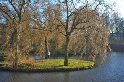
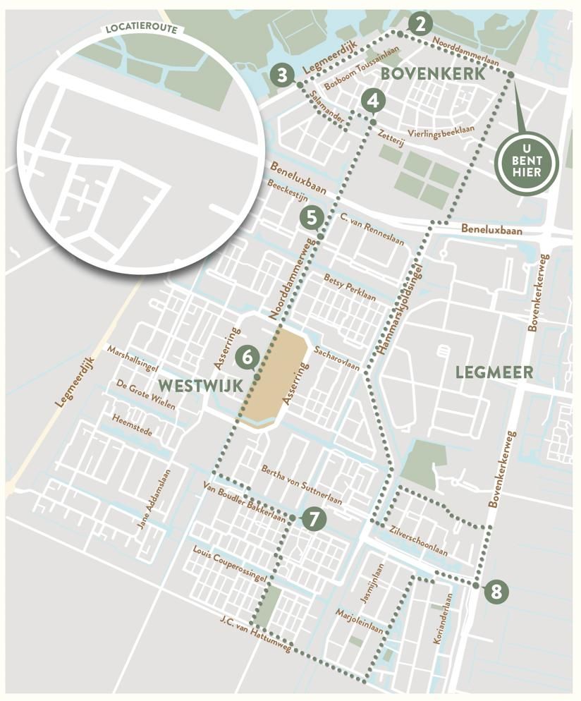
Discover the history of Bovenkerk en Westwijk with this walk through the city. In this route, 'old norms and new values' are important. The route begins in Bovenkerk, an old village that was founded on a dike between two peat excavations. The village has a very unique history. To the south of Bovenkerk, Westwijk has arisen since 1985: a new neighborhood built according to a modern town planning plan, in which the facilities (schools, shops and welfare organizations) are placed in a central area. In this new neighborhood, new traditions have arisen but there are still traces of the former polder landscape to be found.
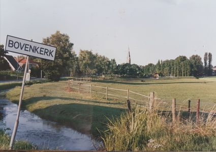
Bovenkerk
The Noorddammerlaan is the main…
Open the route in Google Maps
Discover the history of Bovenkerk en Westwijk with this walk through the city. In this route, 'old norms and new values' are important. The route begins in Bovenkerk, an old village that was founded on a dike between two peat excavations. The village has a very unique history. To the south of Bovenkerk, Westwijk has arisen since 1985: a new neighborhood built according to a modern town planning plan, in which the facilities (schools, shops and welfare organizations) are placed in a central area. In this new neighborhood, new traditions have arisen but there are still traces of the former polder landscape to be found.
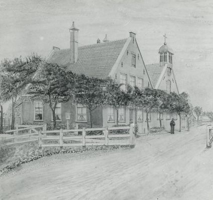
Bovenkerk
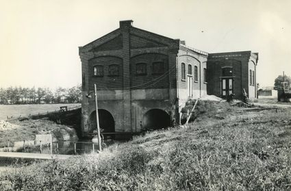
The Noorddammerlaan is the main street of Bovenkerk. Here, the original strip development is still clearly recognizable. This road used to be the main road between Amsterdam and Leiden. At the exit from Amstelveen to Leiden, a road sign probably stood in the form of a pointing hand. It was known as the 'Hand to Leyden', from which the Handweg derives its name.
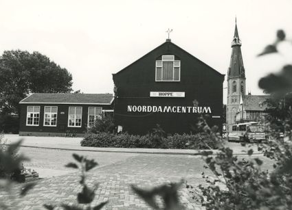
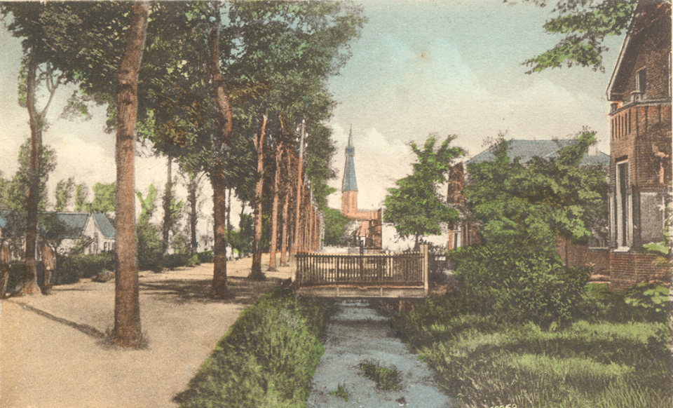
Catholic village
In contrast to the Protestant village of Amstelveen, Bovenkerk has always been predominantly Catholic. This can still be seen in the large St. Urbanus Church, built between 1875 and 1888 by the famous architect Pierre Cuijpers. The distinctive tower is easily recognizable from a distance. In September 2018, the Urbanus Church was largely destroyed by a fire. Fortunately, the tower was spared. The parish, together with local volunteers, immediately began rebuilding.
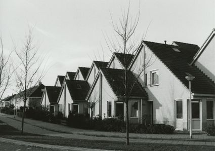
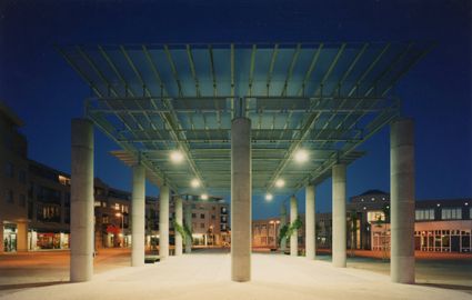
Westwijk
From the end of the 1980s, Westwijk was built to meet a pressing housing shortage. A prize competition was held for the name. The name Westwijk was already established and proved to be the favorite. Traditional ribbon development returned: streets with long sightlines, the car in front of the door and plenty of green. Street names such as Dignahoeve and Marthahoeve point towards the former polder landscape, referring to farms that used to be there.
New initiatives
The new neighborhood attracted many residents from other parts of Amstelveen. A tight-knit group of residents emerged that moved forward together and helped each other. From this, new initiatives have emerged, including an active neighborhood platform, a festive Midsummer Night Market and a Christmas show at the Eijckenstein apartment building. Attention was also paid to the environment. An Ecological Zone has been created around the Burgemeester Wiegelweg, with an energy exchange station and water bodies to capture excess rainwater."
Locations on this route
Amstelveen